
TOP SPOT, INC.
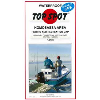
Top Spot N-201 Homosassa Area Chart
SKU: 1870201
Top Spot Fishing Maps pride themselves on making reliable, accurate, waterproof charts with well marked fishing areas. Important information such as the best times of year, types of fish caught, artificial fish habitats, and underwater structure are all shown on the trifold map in an easy to read format.
Homosassa Area. Top Spot Fishing Maps are waterproof and include freshwater, inshore saltwater and offshore saltwater areas. Detailed information and GPS coordinates are provided for fishing locations, boat ramps, marinas and other points of interest.
- Top Spot Map N-201, Florida
- Homosassa Area - Cedar Key, Yankeetown, Crystal River, Aripeka, Hudson, Bayport, Chassahowitzka, Spring Hill, Homosassa
- Gulf of Mexico
- Fishing and Diving Recreation Map
- Inshore
 WARNING: This product can expose you to chemicals including arsenic, which is known to the State of California to cause cancer. For more information, go to http://www.P65Warnings.ca.gov.